- View more resources from this publisher
 European Space Agency (ESA)
 - View more resources from this publisher
 UK Space Agency
 - View more resources from this publisher
 National Centre for Earth Observation
Tooltip
These resources have been reviewed and selected by STEM Learning’s team of education specialists for factual accuracy and relevance to teaching STEM subjects in UK schools.
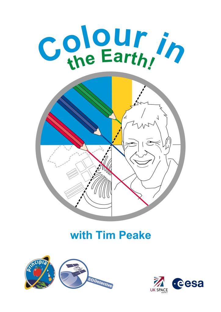
Colour in the Earth
This resource provides activities that link in which geography at primary level, using images of cities and Islands around the World taken from Space. These images taken by Tim Peake, support children in recognising human and natural features from an aerial view. They develop their understanding of maps and keys/legends using simplified line drawings created from Tim’s photos. Several of the features emphasised in each drawing are listed so children can create a key, effectively beginning the process of changing the photograph into a map. It also includes a series of four images of the British Isles in different seasons, allowing children to opportunity to identify which season they think it might show and say why they think this.
Included in the pack is a PowerPoint presentation, children’s worksheets and a teacher guide to support the running of the activities in class.
This resource has been produced by the National Centre for Earth Observation.
Show health and safety information
Please be aware that resources have been published on the website in the form that they were originally supplied. This means that procedures reflect general practice and standards applicable at the time resources were produced and cannot be assumed to be acceptable today. Website users are fully responsible for ensuring that any activity, including practical work, which they carry out is in accordance with current regulations related to health and safety and that an appropriate risk assessment has been carried out.
Downloads
Show downloads
-
 Colour in the Earth PDF 6.5 MB
 -
 Colour in the Earth Powerpoint 20.06 MB
 -
-
Download all files as a .zip56.7 MB
Information on the permitted use of this resource is covered by the Category Three Content section in STEM Learning’s Terms and conditions.


